 OSURIS
1m LiDAR DEM topo-bathymetric Aude 2020 - ANR PICS
This dataset contains the digital elevation models for the Aude sector as well as the data coverage in the form of a .shp file
Simple
- Date (Publication)
- 2022-04-22T09:30:00
- Identificateur
- https://www.osuris.fr/geonetwork/srv/metadata/8425dbe1-5e4a-409f-a504-e1c891938680
- Forme de la présentation
- Modèle numérique de terrain
- But
-
The objectives of this LiDAR acquisition are (i) to complete the existing LiDAR coverage of the area, (ii) to generate data of better quality than the DGPR constraints and (iii) to characterise the bathymetry of the rivers at very high resolution (VHR). These data will be used to improve flash flood prediction using the VHR numerical models generated from the LiDAR data and automated flood modelling methods.
- Etat
- Mise à jour continue
- Fréquence de mise à jour
- Lorsque nécessaire
- Thème
-
-
LiDAR
-
Bathymétrie
-
MNT
-
Aude
-
-
GEMET - INSPIRE themes, version 1.0
-
-
Altitude
-
-
GEMET
-
-
lit de cours d'eau
-
altitude
-
- Limitation d'utilisation
-
Utilisation libre sous réserve de mentionner la source (a minima le nom du producteur) et la date de sa dernière mise à jour
- Contraintes d'accès
- Licence
- Contraintes d'utilisation
- Licence
- Type de représentation spatiale
- Raster
- Dénominateur de l'échelle
- 1
- Langue
- Eng
- Jeu de caractères
- Utf8
- Catégorie ISO
-
- Sciences de la terre, géosciences
- Environnement
- Date de début
- 2020-02-20 T00:00:00
- Date de fin
- 2020-02-20 T00:00:00
))
- Nom du système de référence
- RGF93-Lambert93
- Format (encodage)
-
-
GEOTIFF
(
1.0
)
-
GEOTIFF
(
1.0
)
- Ressource en ligne
- http://geosciences.univ-rennes1.fr ( WWW:LINK-1.0-http--link )
- Ressource en ligne
- Website of the PICS project ( WWW:LINK-1.0-http--link )
- Ressource en ligne
- LiDAR_topographic_survey ( OGC:WMS-1.3.0-http-get-map )
- Ressource en ligne
- Website of the LiDAR Nantes-Rennes platform ( WWW:LINK-1.0-http--link )
- Ressource en ligne
- Couverture_LiDAR_topographique ( WWW:DOWNLOAD-1.0-http--download )
- Ressource en ligne
- MNT_C2C3_1m_1.zip ( WWW:DOWNLOAD-1.0-http--download )
- Ressource en ligne
- MNT_C2C3_1m_2.zip ( WWW:DOWNLOAD-1.0-http--download )
- Ressource en ligne
- MNT_C2C3_1m_3.zip ( WWW:DOWNLOAD-1.0-http--download )
- Ressource en ligne
- MNT_C2C3_1m_4.zip ( WWW:DOWNLOAD-1.0-http--download )
- Ressource en ligne
- MNT_C2C3_1m_5.zip ( WWW:DOWNLOAD-1.0-http--download )
- Ressource en ligne
- MNT_C2C3_1m_6.zip ( WWW:DOWNLOAD-1.0-http--download )
- Ressource en ligne
- MNT_C2C3_1m_7.zip ( WWW:DOWNLOAD-1.0-http--download )
- Ressource en ligne
- MNT_C2C3_1m_8.zip ( WWW:DOWNLOAD-1.0-http--download )
- Ressource en ligne
- MNT_C2C3_1m_9.zip ( WWW:DOWNLOAD-1.0-http--download )
- Ressource en ligne
- MNT_C2C3_1m_10.zip ( WWW:DOWNLOAD-1.0-http--download )
- Ressource en ligne
- MNT_C2C3_1m_11.zip ( WWW:DOWNLOAD-1.0-http--download )
- Ressource en ligne
- MNT_C2C3_1m_12.zip ( WWW:DOWNLOAD-1.0-http--download )
- Ressource en ligne
- MNT_C2C3_1m_13.zip ( WWW:DOWNLOAD-1.0-http--download )
- Ressource en ligne
- rapport_traitements_Plateforme_Lidar_Aude2020.pdf ( WWW:DOWNLOAD-1.0-http--download )
- Niveau
- Jeu de données
Résultat de conformité
- Date (Publication)
- 2014-01-03T00:00:00
- Degré de conformité
- Oui
- Généralités sur la provenance
-
Décrire le protocole d'acquisition
- Identifiant de la fiche
- b37101d2-7290-40ba-a316-bfd4fcbb681e XML
- Langue
- Français
- Jeu de caractères
- Utf8
- Type de ressource
- Jeu de données
- Date des métadonnées
- 2022-07-01T17:05:44
- Nom du standard de métadonnées
-
ISO 19115:2003/19139
- Version du standard de métadonnées
-
1.0
Aperçus
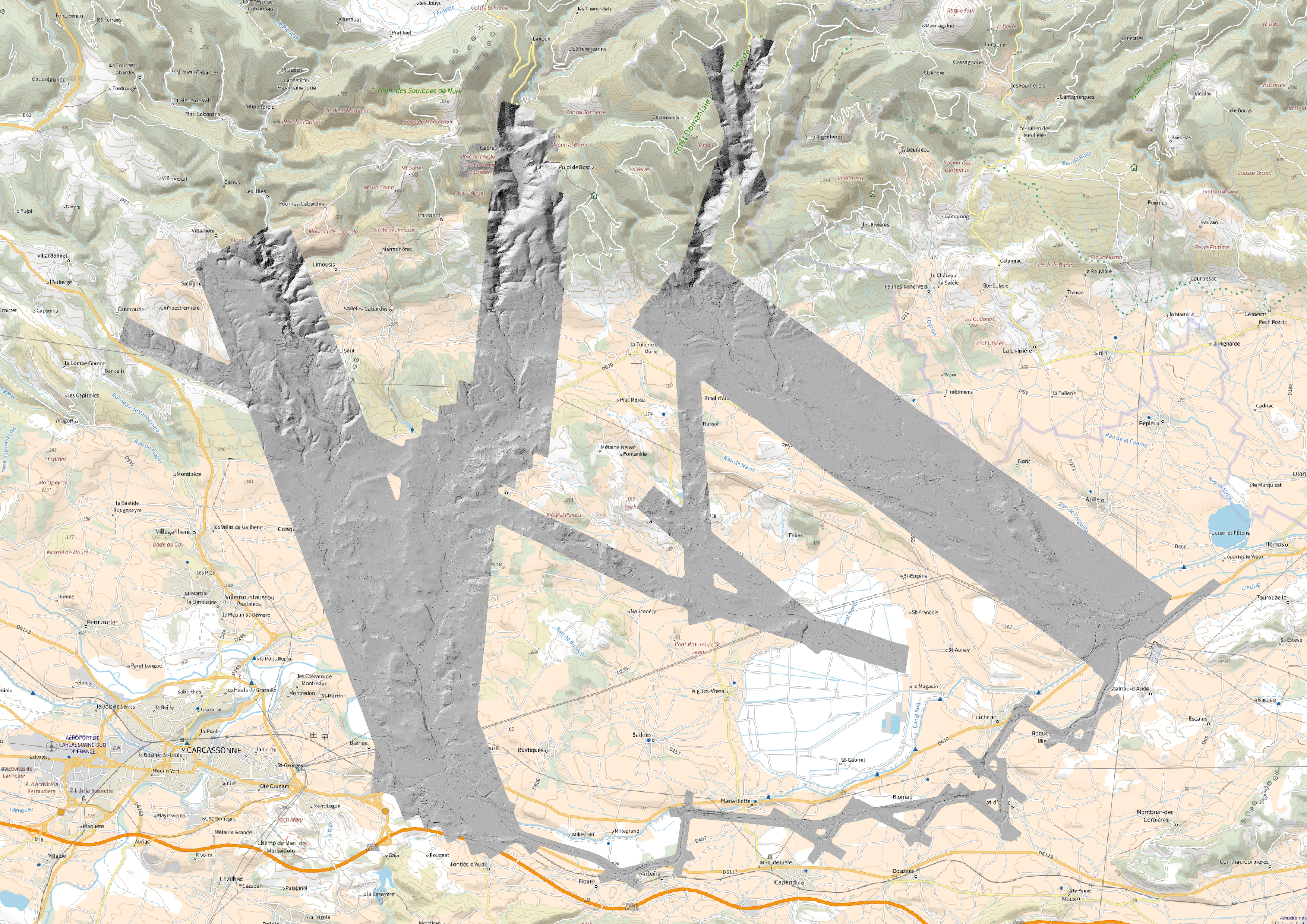
Étendue spatiale
Fourni par
