OSURIS
Service de téléchargement des données Site Urbain Rennais (SUR), projet City Orchestra
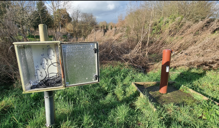
Cette API diffuse des données hydrologique et climatique, à partir de d'octobre 2021, au standard OGC SensorThings. La zone d'étude est le quartier de Beauregard au nord-ouest de Rennes
Simple
Information de l'identification
- Date (Publication)
- 2024-05-28T12:00:00
- Identificateur
- fr-130005127-umrsas-station-hydro-meteo
- Mots clés
-
-
Sensorthings
-
API
-
cityorchestra
-
-
INSPIRE Service taxonomy
-
-
infoSensorDescriptionService
-
-
Registre de thème INSPIRE
-
-
Caractéristiques géographiques météorologiques
-
-
GEMET
-
-
météorologie
-
- Limitation d'utilisation
-
Usage libre
- Limitation d'utilisation
-
Licence ouverte : https://www.etalab.gouv.fr/licence-ouverte-open-licence
- Contraintes d'accès
- Autres restrictions
- Contraintes d'utilisation
- Licence
- Autres contraintes
-
Pas de restriction d’accès public
- Type de service
- OGC SensorThings Service
- Version du type de service
-
SensorThings 1.0
))
- Date de début
- 2021-10-08
- Date de fin
- 2027-05-01
Ressource couplée
- Nom de l’opération
-
GetCapabilities
- Identifiant
-
b02381cc-6c4f-43f4-a7e1-a9a96fdc78e2
- Type de couplage
- Libre
Opérations
- Nom de l’opération
-
Datastreams
- Communication
- WebServices
- Point de connection
- Liens vers les chroniques des observations ( WWW:LINK-1.0-http--link )
Opérations
- Nom de l’opération
-
Things
- Communication
- WebServices
- Point de connection
-
Execute
(
WWW:LINK-1.0-http--link
)
Lien vers la localisation de la station
- Format (encodage)
-
-
OGC:SensorThings
(
1.0
)
-
OGC:SensorThings
(
1.0
)
- Ressource en ligne
- Service OGC SensorThings ( WWW:LINK-1.0-http--link )
- Ressource en ligne
-
Découverte du service
(
WWW:LINK-1.0-http--link
)
Découverte du service : emplacement des stations, variables mesurées et capteurs utilisés
- Référence du catalogue d'objet
- Identifiant de la fiche
- ff3ae11e-a774-4ca0-9eac-e966f3df82d5 XML
- Langue
-
fre
- Jeu de caractères
- Utf8
- Type de ressource
- Service
- Nom du niveau de hiérarchie
-
other
- Date des métadonnées
- 2026-03-27T16:57:41
- Nom du standard de métadonnées
-
ISO 19115:2003/19139
- Version du standard de métadonnées
-
1.0