 OSURIS
Geoscientific information
GEMET keywords
Type of resources
Available actions
Topics
INSPIRE themes
Provided by
Years
Formats
Representation types
Update frequencies
status
Scale
Resolution
-
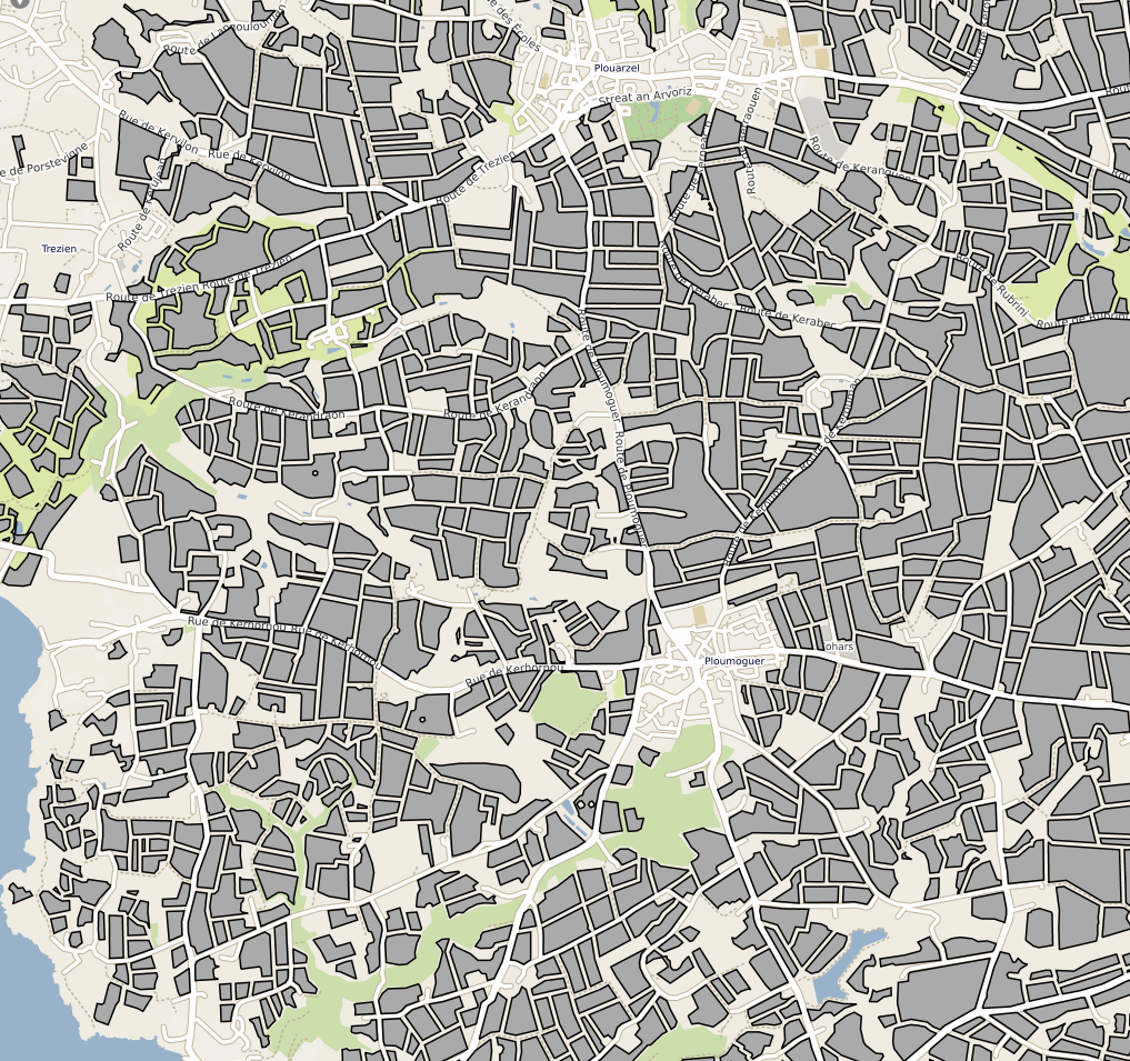
Parcelles cultivées résultant de la compilation des Référentiels Parcellaires Graphiques (RPG) de 2017 et 2019. La table attributaire contient un lien vers la série temporelle de l'humidité de surfacede la parcelle depuis 2017.
-

Full hyperspectral VNIR-SWIR ENVI standard image obtained from the coregistration of both VNIR and SWIR ones through a signal aggregation process that allowed to obtain a synthetic VNIR 1.6 m spatial resolution image, with pixels exactly corresponding to natif SWIR image ones. First, a spatially resampled 1.6 m VNIR image was built, where output pixel values were calculated as the average of the VNIR 0.8 m pixel values that spatially contribute to it. Then, ground control points (GCP) were selected over both images and SWIR one was tied to the VNIR 1.6 m image using a bilinear resampling method using ENVI tool. This lead to a 1.6 m spatial resolution full VNIR-SWIR image.
-
Hyperspectral ENVI standard simulated images. Spatial and spectral configurations generated correspond to ESA SENTINEL-2 instrument that was lunched on 2015, and HYPXIM sensor which was under study at that time.
-
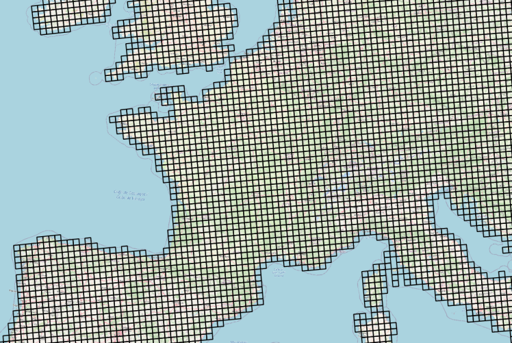
Données météorologiques Agri4cast basées sur des observations et spatialisées sous la forme d'une grille composée de mailles carrées de 625 km² (25 km ×25 km) sur la France. La table attributaire de cette couche permet d'établir le lien entre l'objet géographique (la maille) et les chroniques d'observation météorologiques via un service conforme au standard OGC SensorThings (https://frost.geosas.fr/agri4cast/v1.0/) Les observations sont : - température maximale de l'air (°C), - température minimale de l'air (°C), - température moyenne de l'air (°C), - vitesse moyenne quotidienne du vent à 10 m (m/s), - pression atmosphérique (hPa), - précipitations cumulées (mm/jour), - évapotranspiration potentielle d'un couvert végétal (mm/jour), - rayonnement global total (KJ/m2/jour). Les données météorologiques sont quotidiennes de 1979 à la dernière année civile révolue. Plus d’informations sur le portal Agri4cast : https://agri4cast.jrc.ec.europa.eu/DataPortal/Index.aspx
-
This data set contains the temperature values at the position of 557 Pardosa saltans spiders, measured each minute during 90 minutes in a laboratory thermal gradient. Additionnal information on sex, development stage and morphology is provided for each individual. For details see Cabon et al 2023 in Journal of Thermal Biology: https://www-sciencedirect-com.passerelle.univ-rennes1.fr/science/article/pii/S0306456523002474 https://doi.org/10.1016/j.jtherbio.2023.103706 Link to the dataset: https://doi.org/10.48579/PRO/AF5COX
-
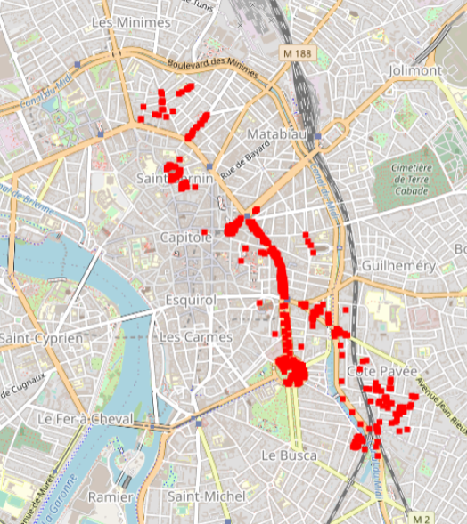
Hyperspectral data were obtained during an acquisition campaign led on Toulouse (France) urban area on July 2015 using Hyspex instrument which provides 408 spectral bands spread over 0.4 – 2.5 μ. Flight altitude lead to 2 m spatial resolution images. Supervised SVN classification results for 600 urban trees according to a 3 level nomenclature: leaf type (5 classes), family (12 and 19 classes) and species (14 and 27 classes). The number of classes differ for the two latter as they depend on the minimum number of individuals considered (4 and 10 individuals per class respectively). Trees positions have been acquired using differential GPS and are given with centimetric to decimetric precision. A randomly selected subset of these trees has been used to train machine SVM and Random Forest classification algorithms. Those algorithms were applied to hyperspectral images using a number of classes for family (12 and 19 classes) and species (14 and 27 classes) levels defined according to the minimum number of individuals considered during training/validation process (4 and 10 individuals per class, respectively). Global classification precision for several training subsets is given by Brabant et al, 2019 (https://www.mdpi.com/470202) in terms of averaged overall accuracy (AOA) and averaged kappa index of agreement (AKIA).
-
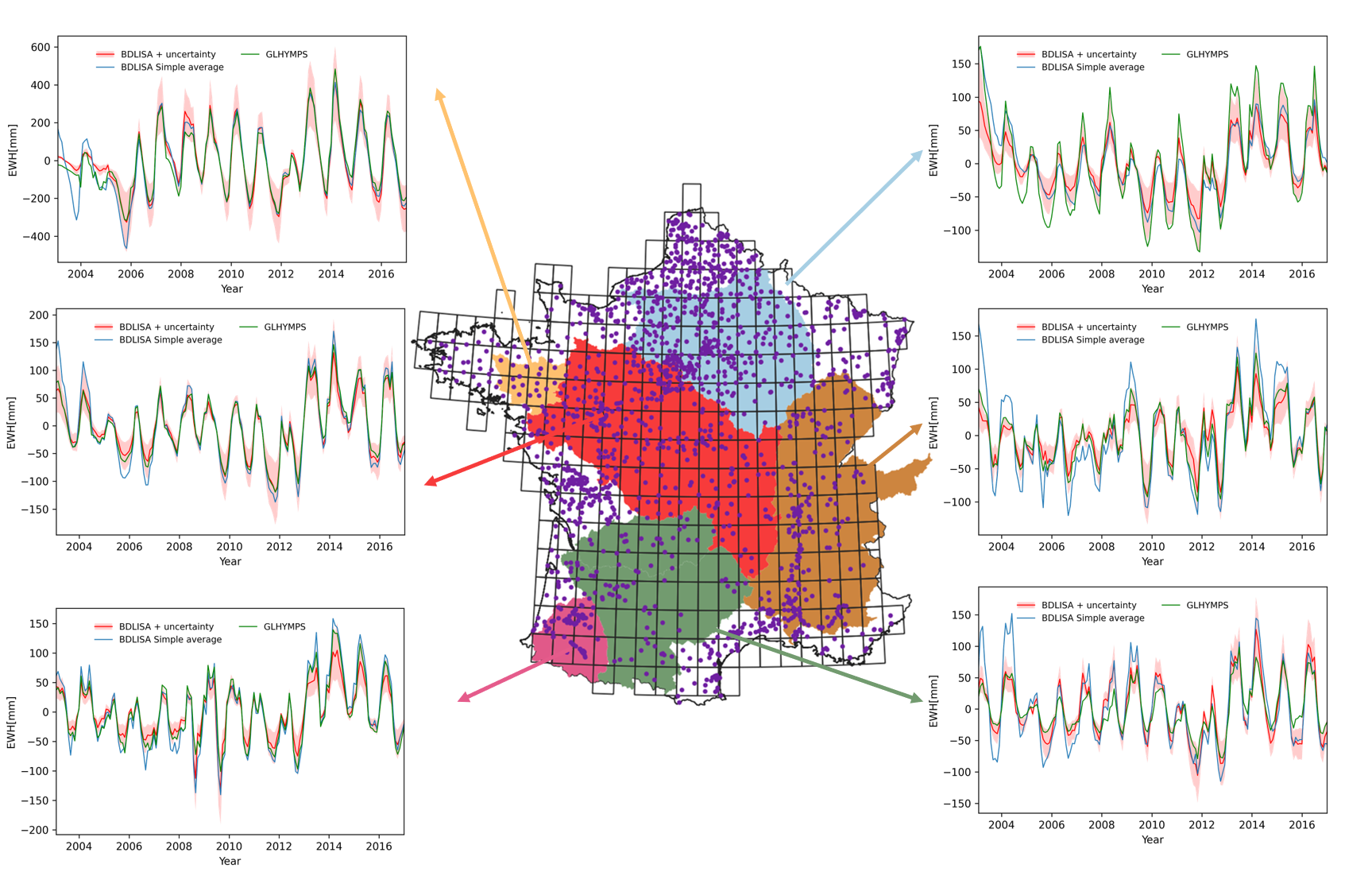
Groundwater comprises approximately 30 percent of the Earth’s total freshwater, serving as a vital resource for both humans and ecosystems. As an essential source of drinking water for humans and sustenance for vegetation, groundwater plays a key role in the terrestrial water cycle. It acts as a buffer, enabling adaptation to climate variability and extreme events like floods and droughts. Therefore, understanding groundwater storage is important for both ecological and15 societal reasons.
-

The Ploemeur-Guidel observatory (Britanny, France) is focusing on surface-depth relationships in a fractured crystalline geological context and oceanic climate. It is built on 2 sub-sites, one highly anthropized, the other in natural state. In Ploemeur, groundwater has been pumped since 1991, supplying more than 1 million m3 of clean drinking water annual at a sustainable rate. Such high productivity is explained the specific fractured network in granite and micaschists, draining deep geological layers (~400 m). Extracted water quality is very good, with limited nitrate concentration, in a region that has been strongly affected by widespread pollution. Guidel site is in a similar, but natural context. Deep iron-rich groundwater is upflowing, creating surface and deep groundwater-dependent ecosystems, and feeding a classified coastal wetland. Both sites have a very dense equipment to study rapid to long-term surface-depth exchanges: a flux tower, unsaturated zone monitoring, a network of ~50 shallow (<10m) and deep boreholes (>80m), hydrochemical, temperature and deformation. An well-characterized fractured experimental site offers the possibility to conduct experiments to test innovative instruments and develop new methodologies
-

The dataset includes BLUM and long base tiltmeter data.
-
The dataset includes BLUM and long base tiltmeter data.